top of page

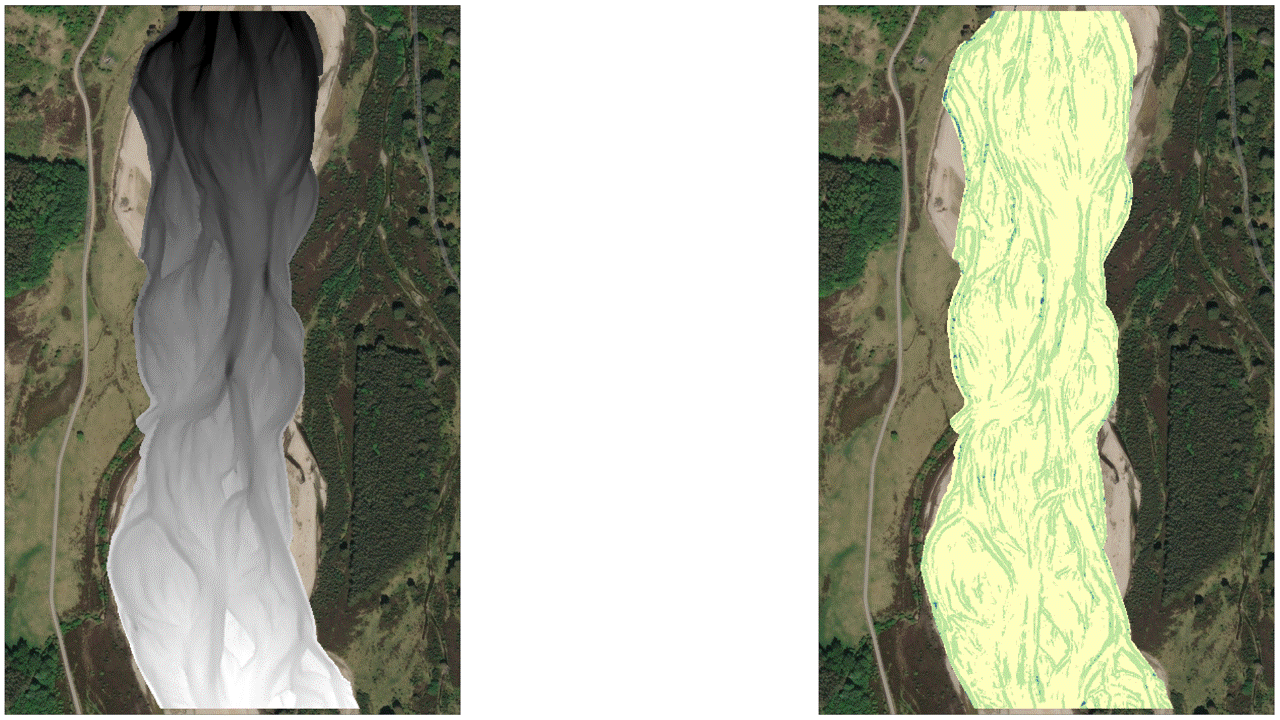
Topographical Differences
A
Visual Depiction of 3 Surveys of the River Feshie in Scotland

Image Credit: University of Dundee
DEMs & A Visual Depiction of Elevation Error Models (80% Confidence Level)

Topographic Change Detection for 2 Time Periods (80% Probability Threshold)
For context, red areas are areas of degradation and blue areas are areas of aggradation.
2003-2004


2004-2005


Budget Segregation for the Years of 2003-2005

Note: There is a bar development polygon which is overlaid by a channel aggradation polygon in the image above, since the area of bar development was also part of the channel aggradation area. The final budget segregation results are not affected by this visual overlapping since bar development and channel aggradation are treated as separate analysis groups.
Budget Segregation for the Years of 2003-2005
The graphs and charts below are separated for the 4 Budget Segregation categories: Bank Erosion, Bar Development, Channel Aggradation, and Channel Degradation.

Bank Erosion


Bar Development


Channel
Aggradation


Channel
Degradation
bottom of page